I. Introduction
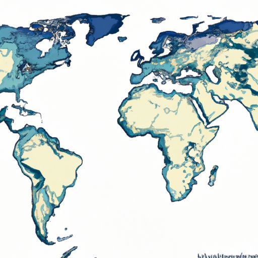
Physical maps are one of the many forms of maps that provide us with information about our planet’s topography. They show us the various natural features of the earth and help us understand how they impact our environment. Understanding physical maps is crucial for scientists, researchers, students, and everyday people alike, as they offer a unique and valuable perspective on the planet’s surface.
II. The Importance of Physical Maps: Why they are Paramount in Understanding the Earth’s Topography
Physical maps help us in understanding the different terrains of the earth. They offer an accurate representation of the planet’s surface, including information about the mountains, valleys, oceans, and rivers. This information is crucial for anyone studying the earth’s geological or meteorological characteristics. Furthermore, physical maps play a significant role in predicting natural disasters such as floods, volcanoes, and earthquakes. With technological advancements, physical maps are becoming more detailed, accurate, and informative.
III. An Overview of Physical Maps: Discovering the Features of Earth’s Topography
The history of physical maps dates back to ancient times when people used simple drawings to represent the earth’s surface. Today, physical maps are much more detailed and accurate. They show mountains, plains, and other physical landmarks. These maps also reflect changes in the terrain due to natural disasters, like volcanic eruptions or earthquakes. Physical maps also provide information about climate and vegetation types. With color coding, physical maps make it easy to understand how different weather systems impact specific areas of the earth.
IV. Comparing Physical Maps to Other Types of Maps: Understanding the Differences and Why they Matter
Physical maps differ from other types of maps, such as political maps, topographic maps, and satellite maps. While political maps cover human boundaries, topographic maps display features like contours and elevation, while satellite maps use images obtained by satellites. Physical maps emphasize the visualization of the earth’s surface rather than political boundaries. Understanding the differences between these maps and knowing which type is most suitable for each purpose is crucial.
V. Exploring Real-World Applications of Physical Maps: How they are Used in Scientific Research and Everyday Life
Physical maps are vital for scientific research. They help scientists identify geographic areas of interest, browse historical information, and analyze environmental data. Physical maps also have real-world applications in weather forecasting, agriculture, forestry, and land management activities. For example, physical maps aid in tracking climate change trends, analyzing soil and vegetation data, and developing strategies to mitigate natural disasters.
VI. Cartography and Physical Maps: Techniques and Tools for Creating Accurate Depictions of the Earth’s Surface
Cartography is the study and practice of creating maps. To create accurate physical maps, cartographers use various techniques and tools like aerial images, satellite data, ground-based surveys, and Global Positioning System (GPS). Cartographers also rely on mathematical models to create 3D renderings of the earth’s surface. Obtaining a detailed physical map requires processing vast amounts of data, filtering out unnecessary information, and using advanced algorithms to create precise topographical and geological details.
VII. The Future of Physical Maps: How Technology is Changing the Discipline of Cartography
The future of physical maps relies heavily on technological advancements. LIDAR (Light Detection and Ranging) technology, a remote-sensing technique designed to measure the earth’s vertical depths, is helping cartographers create detailed maps of remote areas. Additionally, machine learning algorithms are helping automate the process of map creation and ensure accuracy. Finally, improvements to spatial data technology platforms such as Geographic Information Systems (GIS) are enhancing our ability to visualize the earth’s features through a multitude of media platforms.
VII. Conclusion
In conclusion, physical maps are essential for understanding the earth’s topography. They are valuable to scientists, researchers, and everyday people who need to interpret geographic and environmental data. Physical maps are continually improving as cartographers use advanced tools, techniques, and technology to capture important information about our planet. It is crucial to keep up-to-date with technological advancements and learn how they impact physical maps and their varied applications.
